Data-centric spatial and risk research

© Adobe Stock / fotograupner – stock.adobe.com / Bearbeitung Fraunhofer IIS
Data-centred spatial and risk research

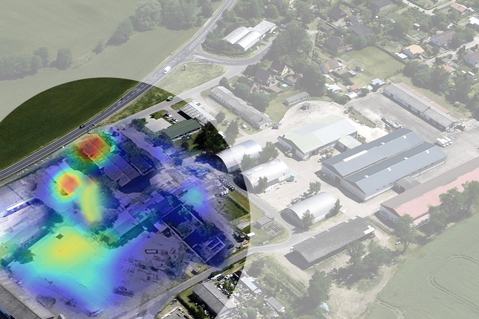
In the research focus »Data-centric spatial and risk research«, we use AI-supported methods based on geo- and remote sensing data as well as text and sensor analyses to increase civil security, promote resilient supply chains and enable more economical and sustainable location decisions.


Our experts combine economic framework data with their comprehensive understanding of the market and industry, with new methods for AI-supported image analysis and methods of empirical social research. In this way, complex economic relationships can be comprehensively analysed from a new perspective and spatially localised. For more transparency and certainty in decision-making.

Our subject areas


The ARGOS Project on Brownfields

The ARGOS project aims to utilize AI for the nationwide identification of brownfields from geodata, aerial, and satellite images, creating an online platform to provide updated insights into potential commercial real estate sites. This initiative not only facilitates new development without sealing additional land but also enhances sustainability by repurposing previously used areas.


The »SIDING« project

The »SIDING« project aims to map private railway sidings across Germany to facilitate the establishment of companies in the industrial and logistics sectors and enhance rail infrastructure. By utilizing artificial intelligence to analyze satellite images, the project will provide a comprehensive list of private sidings, aiding companies in their transition to rail freight transport and promoting climate-friendly logistics.